Our Village (history)

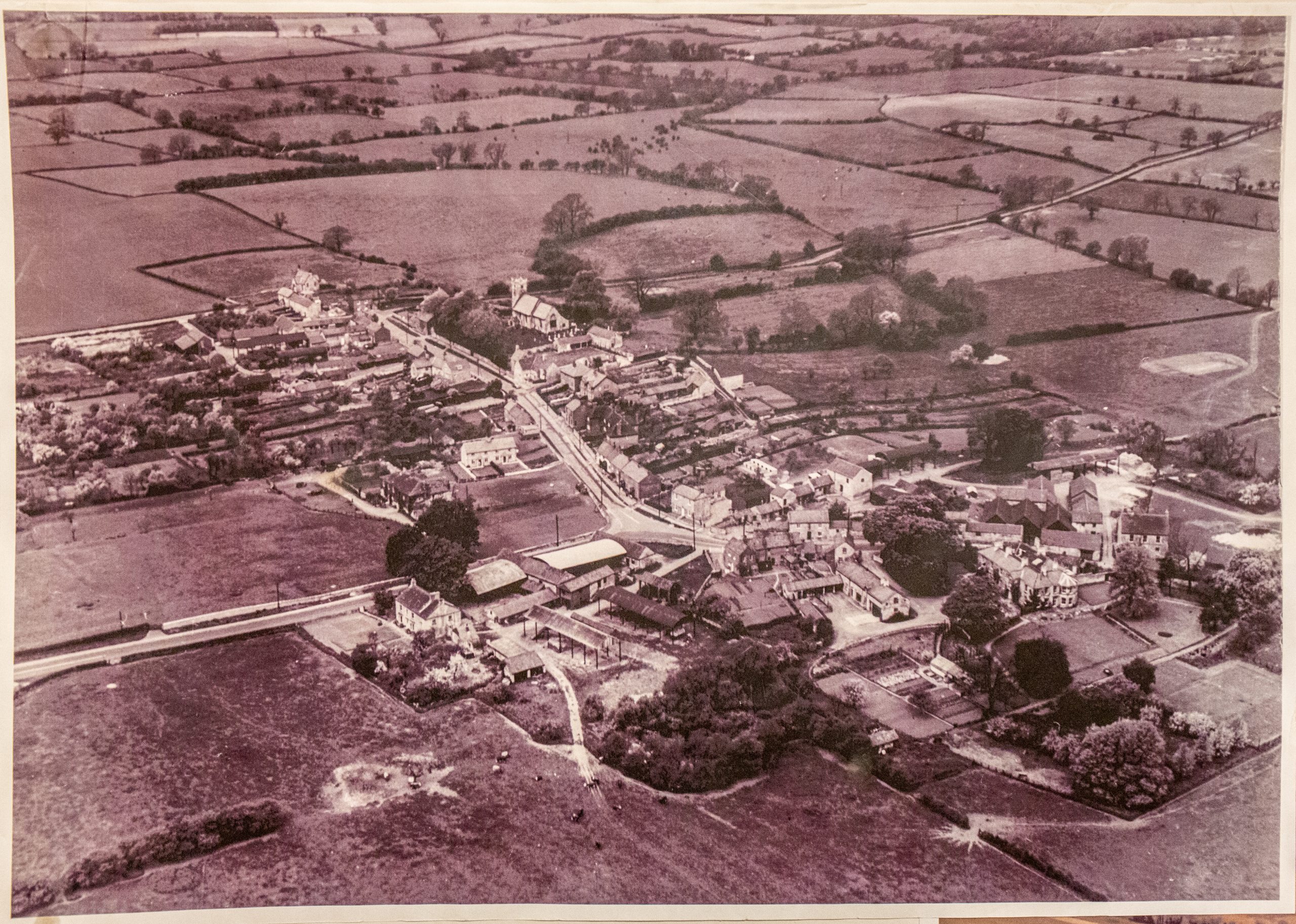
Walton lies in the valley of the Wharfe River, a West Yorkshire village two and a half miles from Wetherby, with it’s origins going back nine hundred years. It’s full title is Walton-in-Ainsty, and is able to trace itself back to Anglo-Saxon times.
The name Walton is a common one, meaning ‘Village or Farmstead of the Britons’, and is taken from the Old English ‘Wahl’. There is a very strong Roman influence upon the area with a Roman Road, Rudgate, running due north/south alongside the eastern boundary of the village. By the time of the Domesday Book (the village was surveyed in 1085 AD) it showed a population of 32 with six manors containing land for nine ploughs and a given value of £1.50.
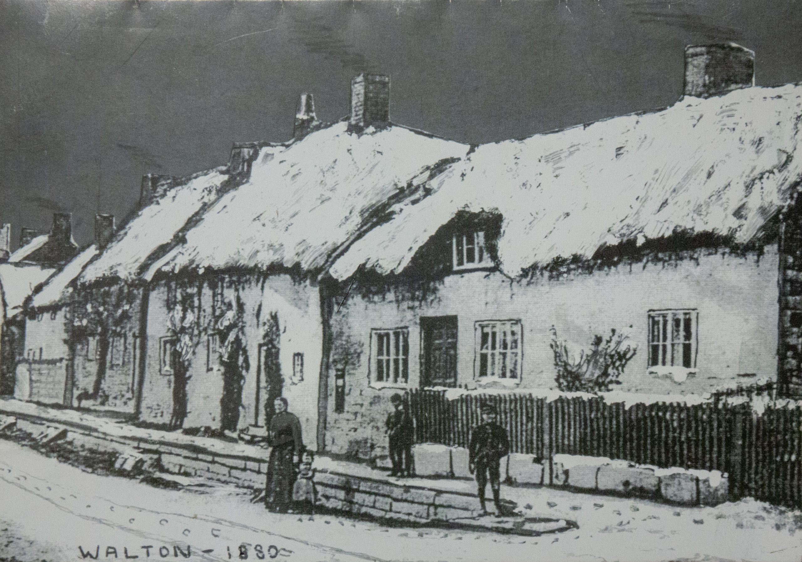
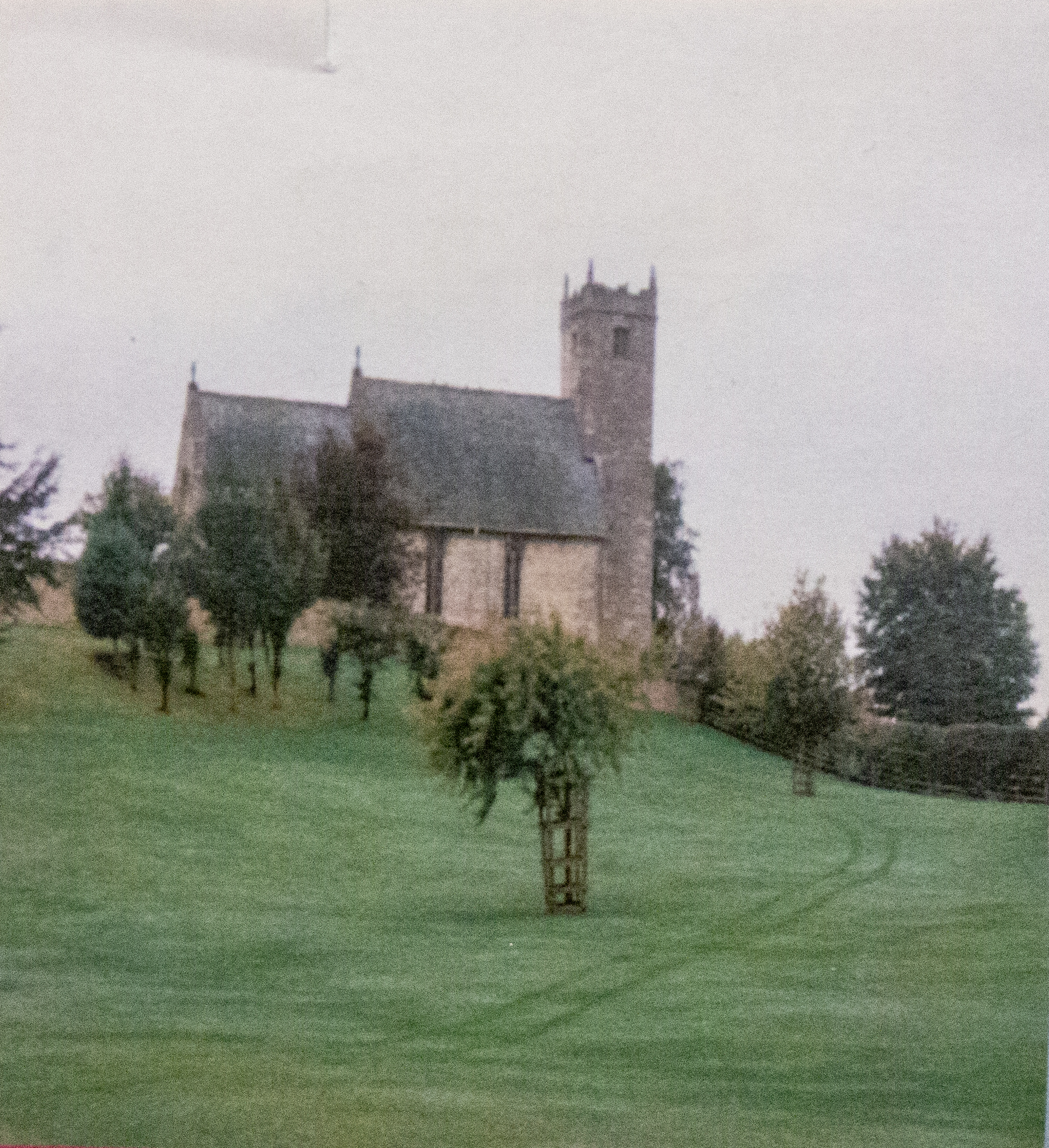
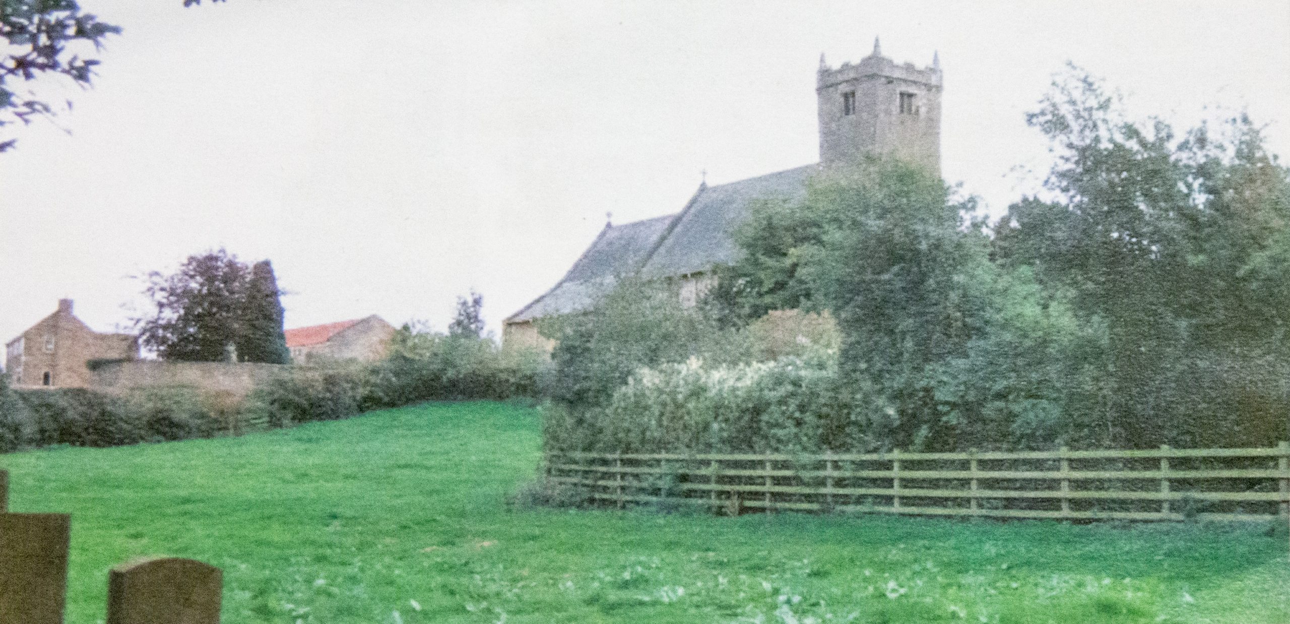
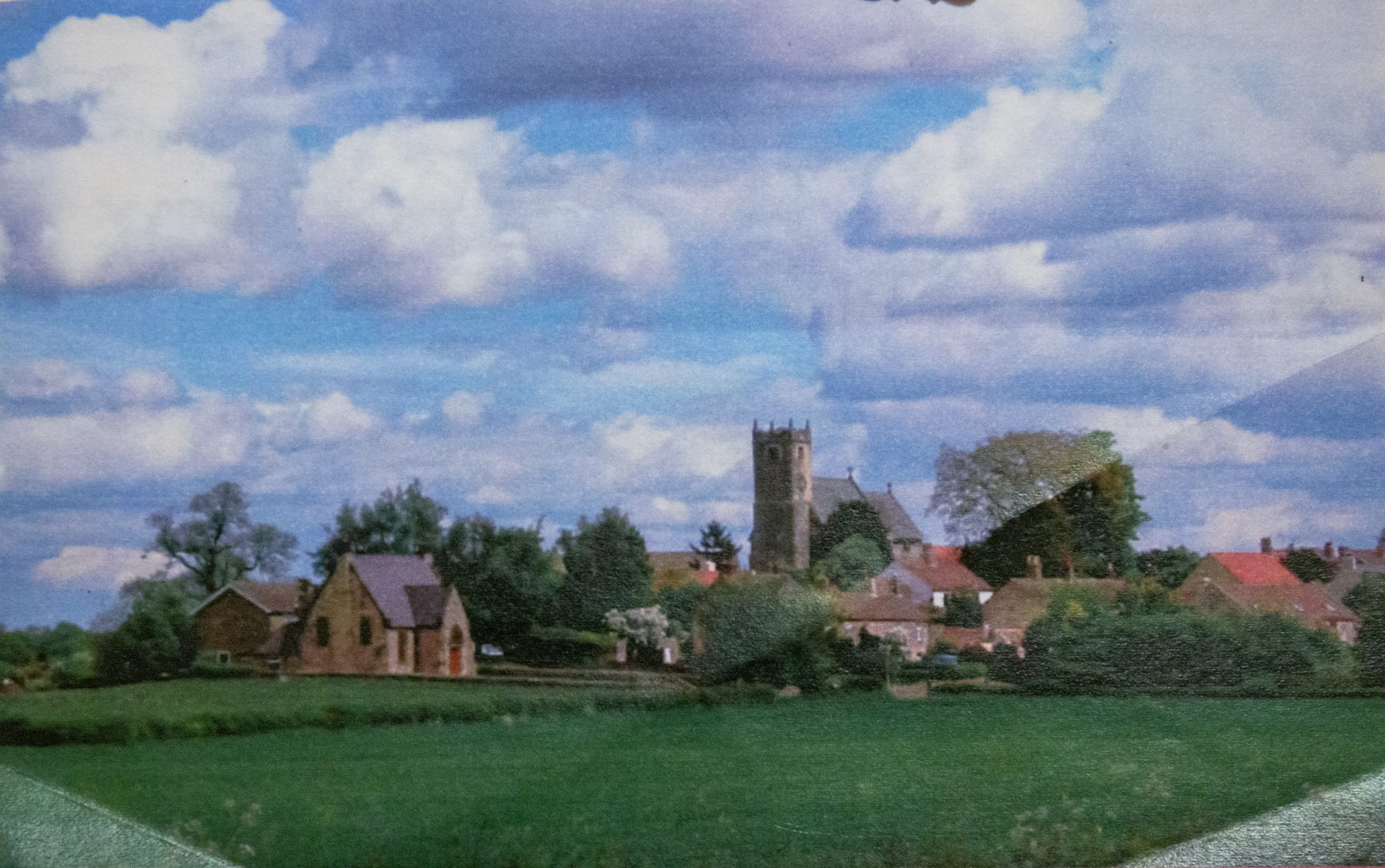
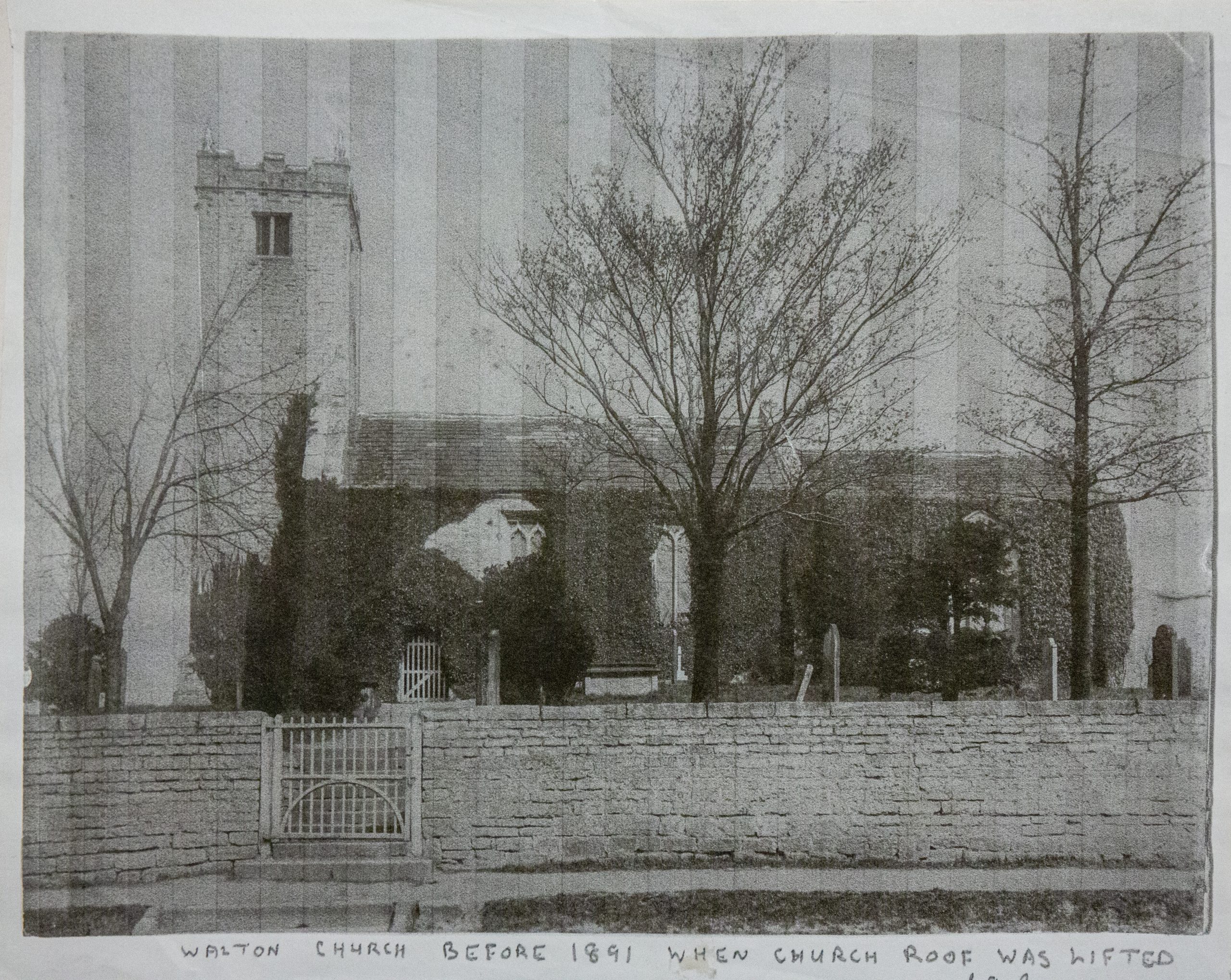
St Peter’s Church is interesting, for although the Church mostly dates back to a period of 1325 AD, it contains remains of an earlier Norman Church of about 1150 AD. St Peter’s has outlasted the Wesleyan Chapel also existing in Walton, but pulled down in the 1960′s. By the time of the next Census in the early 1800′s, the village had grown to 237 inhabitants and 1,670 acres of fertile land owned originally by the De Brus and De Arches families, followed by the Fairfax family around 1249 AD, and brought up-to-date by the Lane-Foxes.
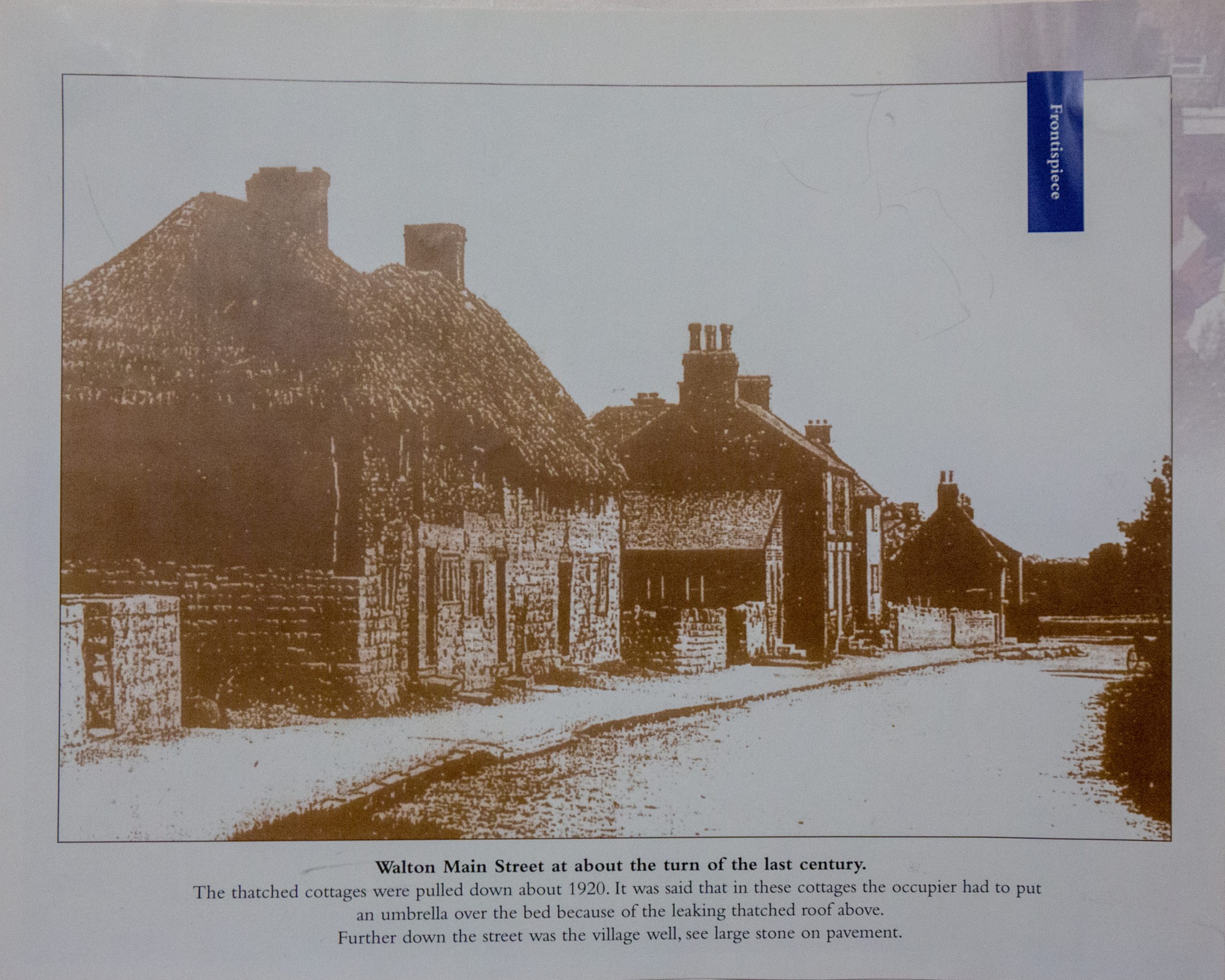
The Enclosure Act of 1816 consolidated the lands benefiting both the Lane-Foxes and the Fisher family who both provided perpetual curacies locally. In 1840, it was recorded that within the Walton boundaries, there were two Inns, The Black Bull and the Fox and Hounds, one wheelwright, one tailor, one gardener, four shoemakers, three shopkeepers, three yeomen and eight farmers. This was the first recorded commercial framework to the village.

The Inns had originally been part of the dairy farmhouses as was normal in the times, with only The Fox and Hounds surviving to this day. The Black Bull has reverted to Moor House Farm, a dwelling house. The York and Midland Railway opened its tracks for trade in 1847 with a station adjacent to Walton and served the village with all the surrounding towns and cities, particularly Leeds and York.
During the Second World War, with the construction of the local armaments factories (now the trading estate), the railway was extended to, and around these factories, before closing in 1964 with the ‘Beeching Axe’. New roads were created at the time of the war to house ordnance in separate bunkers (now Champagne Whinn). As no account was made at the time of the Parish Boundary, a situation exists today where the Walton Parish Boundary passes directly through buildings on the estate.
The armaments factories caused the passing of an act to remove the footpath which passed through the estate, while the other, leading to Bickerton was not registered at the time of re-registration, thus the people of Walton have lost all of their footpaths.
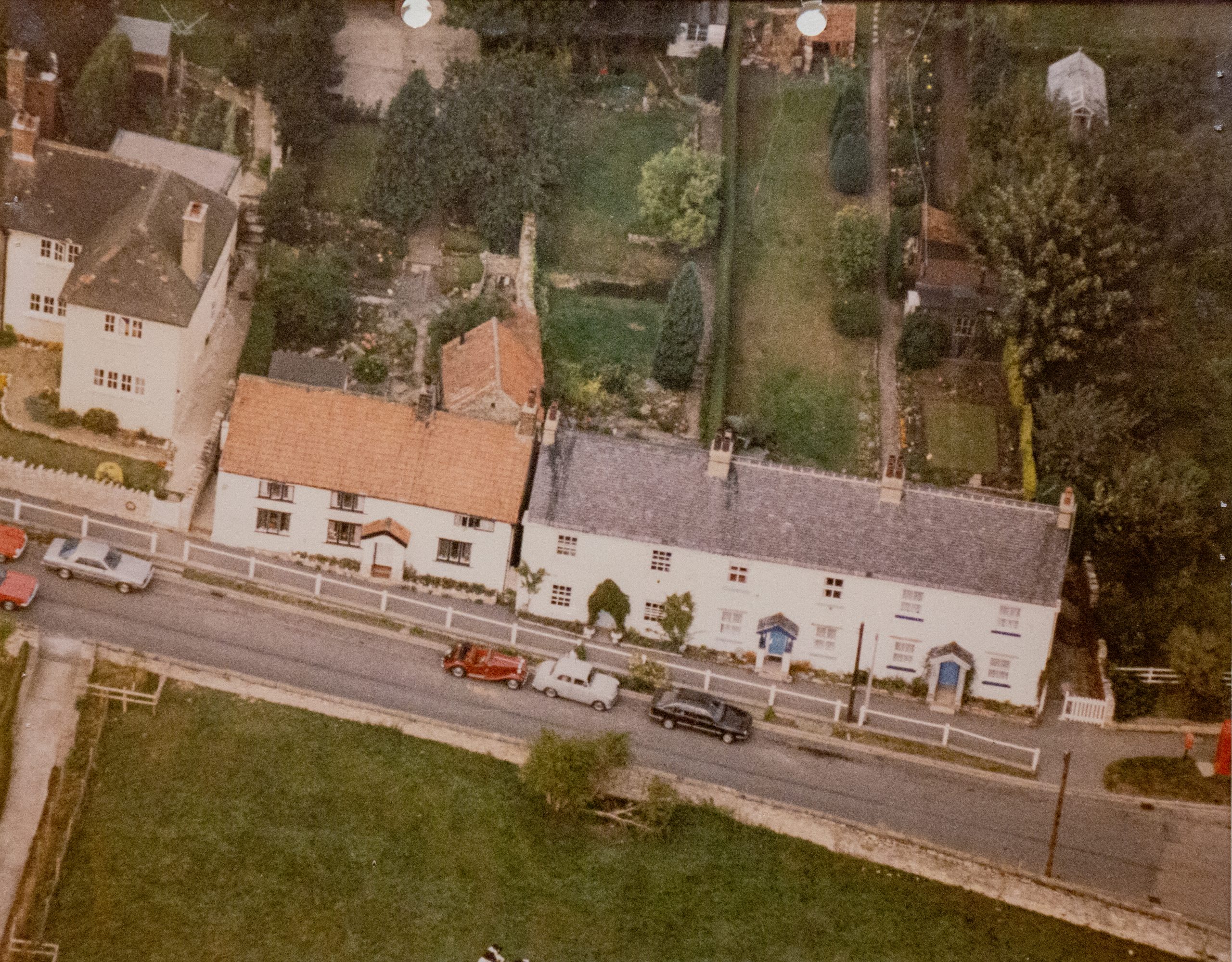
By the Twenty-First Century, one of the two pubs has disappeared, so also has the shop and the Post Office, but the spirit of the village is as strong as it has ever been. There are close ties to the farming community, the Harvest Festival and the Summer Fayre.
This mood is probably best illustrated – and proved – by the fact every single household took part in the survey for the Parish Plan, while the villagers packed out the village hall when the presentation of the results was made in April 2003.